Navigation has become one of the most essential features for drivers today. Gone are the days of unfolding paper maps or printing out directions before a trip. In 2025, most Australian drivers rely on either a dedicated car GPS unit or smartphone map apps like Google Maps, Apple Maps, or Waze.
But which one is truly better? Is it worth investing in a standalone GPS device, or is your phone already good enough? Let’s break down the pros and cons of both options, explore where each shines, and see how they impact your driving experience.
Why Navigation Matters More Than Ever
Navigation isn’t just about getting from A to B. Modern systems provide:
- Real-time traffic updates – rerouting you when congestion builds up.
- Speed limit alerts and safety warnings – helping you avoid fines.
- Points of interest (POIs) – fuel stations, EV chargers, restaurants, and rest stops.
- Hands-free integration – keeping your eyes on the road while still accessing information.
With more Australians embracing road trips, rideshare driving, and long commutes, reliable navigation has become a daily necessity rather than a luxury.
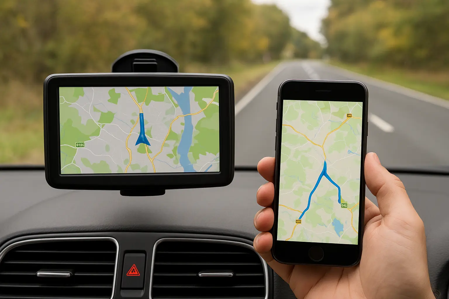
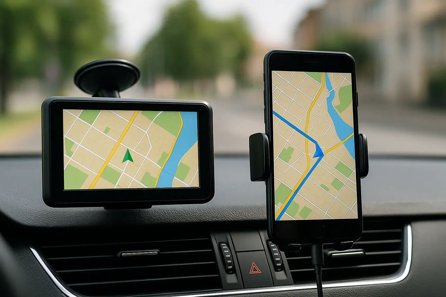
Car GPS Systems – The Classic Dedicated Device
Dedicated car GPS units, from brands like Garmin, TomTom, and Navman, have been around for decades. While smartphones have disrupted the market, GPS devices remain popular, particularly among professional drivers and frequent travelers.
Pros of Car GPS
- Offline reliability: Works without internet or mobile reception – a huge advantage in rural and outback Australia.
- Designed for driving: Larger screens, anti-glare displays, and simplified interfaces make them safer to glance at while driving.
- Driver-specific data: Truck GPS units provide height, weight, and road restriction warnings.
- Consistent power: Runs directly from the car’s 12V socket, no battery drain concerns.
- Fewer distractions: No incoming calls, notifications, or social media interruptions.
Cons of Car GPS
- Upfront cost: Quality GPS devices cost $150–$400.
- Map updates: Many require paid updates, though some newer models offer lifetime maps.
- Limited flexibility: Can’t double as a phone, entertainment device, or communication tool.
- Bulky setup: Requires mounting on the dash or windscreen, which some drivers dislike.
Smartphone Maps – The Everyday Companion
Smartphones have transformed how people navigate. With apps like Google Maps, Apple Maps, and Waze, most drivers carry a full navigation system in their pocket.
Pros of Smartphone Maps
- Always updated: Roads, POIs, and traffic info update automatically.
- Cost-effective: No extra device to buy – it’s already on your phone.
- Integration: Syncs with contacts, calendars, and ride services.
- Voice assistance: Google Assistant or Siri can handle commands hands-free.
- Community-driven data: Apps like Waze crowdsource hazards, speed traps, and closures.
Cons of Smartphone Maps
- Battery drain: Continuous GPS use can quickly deplete battery life.
- Mobile coverage limits: Remote areas may have patchy reception without offline maps.
- Overheating risk: Long trips can cause the phone to heat up while charging and navigating.
- Distraction factor: Notifications, calls, and messages compete for your attention.
- Mounting issues: Requires a sturdy cradle or wireless CarPlay/Android Auto setup.
Key Differences: GPS vs Smartphone Maps
| Feature | Car GPS Device | Smartphone Maps |
|---|---|---|
| Cost | $150–$400 upfront | Free (with your phone) |
| Offline Access | Always works offline | Must download offline maps |
| Traffic Updates | Available on premium models | Always real-time |
| Ease of Use | Simple, driver-focused | Multi-purpose, can be distracting |
| Integration | Limited | Seamless with apps, contacts |
| Screen Size | 5–7 inches, anti-glare | 6–7 inch phone screens, variable |
| Reliability | Stable, no battery issue | Dependent on phone battery & data |
Use Cases: Which Navigation Suits You Best?
Daily Commuters
Smartphone maps shine for commuters. They provide up-to-the-minute traffic data, alternative routes, and integration with work calendars.
Long-Distance Travellers
Dedicated GPS units are more reliable for long trips across rural Australia, where mobile reception drops. Offline reliability is a major advantage.
Professional Drivers (Truckers, Rideshare, Delivery)
- Truck drivers: GPS units with truck-specific routing prevent costly detours.
- Rideshare drivers: Smartphone maps offer dynamic ride integration.
- Delivery drivers: A hybrid approach often works best – GPS for base routing, smartphone for traffic.
Occasional Drivers
If you only need directions occasionally, sticking to your smartphone is more than enough.
The Evolution of Navigation
Navigation is evolving rapidly.
- Car infotainment systems now integrate directly with Android Auto and Apple CarPlay.
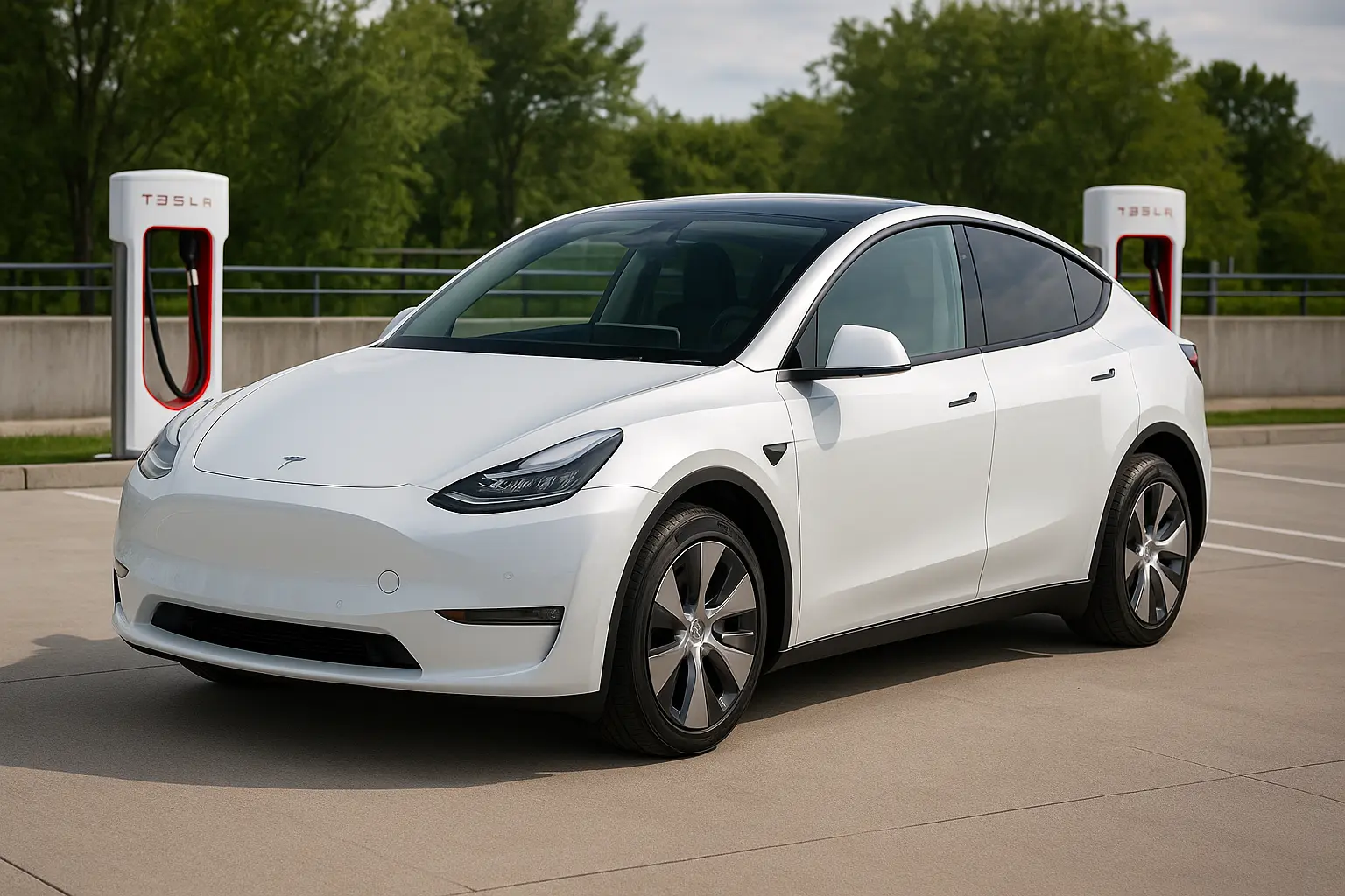
- Electric vehicles (EVs) include chargers in routing, with predictive range estimates.
- AI-driven assistants offer smarter route planning, factoring in weather, fuel, and driving style.
Some modern vehicles even include built-in GPS units that combine the reliability of a standalone device with the flexibility of smartphone apps.
Pros & Cons Recap
Car GPS Devices
- Best for: Long trips, rural driving, professional drivers.
- Strengths: Offline reliability, driver focus, safety.
- Weaknesses: Cost, outdated maps, lack of app integration.
Smartphone Maps
- Best for: Everyday commuting, city driving, rideshare.
- Strengths: Free, always updated, feature-rich.
- Weaknesses: Battery drain, coverage issues, distractions.
Which Is Better for Australian Drivers?
For most Aussies in cities like Sydney, Melbourne, and Brisbane, smartphone maps win. They’re free, integrated, and always updated.
But for road trips across the Nullarbor, Outback adventures, or trucking across regional highways, a dedicated GPS device is still the safer bet.
Car GPS vs Smartphone – Hybrid Use
Many drivers actually use both. Example:
- A GPS unit handles main routing offline.
- A smartphone app provides traffic updates, hazards, and ETA adjustments.
This hybrid approach ensures you’re covered both in cities and in the bush.
Final Verdict
The debate isn’t about which one is universally better but which suits your driving style and location best.
- If you’re a commuter in the city → Smartphone maps.
- If you’re a traveller in remote Australia → Car GPS.
- If you’re a professional driver → Use both for maximum reliability.
When buying your next car or accessories, think about how navigation fits your lifestyle. For many, a smartphone is enough. For others, a dedicated GPS remains essential.
For more car technology comparisons and buying tips, check out Carsoop.com.au

Leave a comment
Your email address will not be published. Required fields are marked *